

 Facebook
 X
X
 Pinterest
 Copy Link
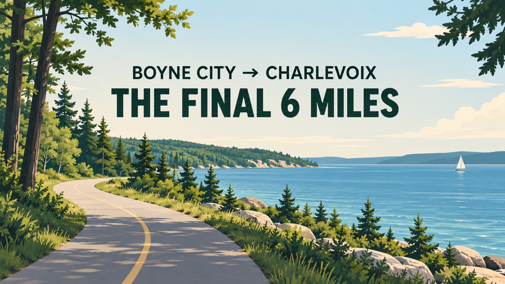
Featured graphic: original illustration—not a photograph of the trail.
If you’ve ever looked at a map of the Boyne City to Charlevoix Trail and wondered, Can I actually ride all the way between the two cities yet? — the short answer is not quite.
About 8.4 miles of the planned 14.36-mile trail are complete. Roughly six miles remain between the existing sections near Horton Bay and the Charlevoix side of the route.
That final connection is now moving through another round of design, engineering and fundraising.
For anyone who lives in Charlevoix County, spends summers here or is considering moving to the area, this is a project worth watching. When finished, it would do more than add another bike trail. It would close an important gap in a much larger Northern Michigan trail network.
Here’s where the project stands.
What is the Boyne City to Charlevoix Trail?
The Boyne City to Charlevoix Trail is a planned paved, non-motorized route following the north side of Lake Charlevoix between Boyne City and the Charlevoix area.
The full route is planned at approximately 14.36 miles.
Rather than running directly along one continuous stretch of roadway, most of the trail is designed as a separated pathway. Along the way, it passes through or near Young State Park, Horton Bay, Hayes Township Park and several rural stretches of northern Charlevoix County.
The project has been built in stages over the past decade.
And that’s why looking at a trail map today can be a little confusing: significant sections are already open, but they don’t yet form one uninterrupted Boyne City-to-Charlevoix trail.
How much of the trail is already complete?
According to the Top of Michigan Trails Council, approximately 8.37 miles of the planned 14.36 miles have been completed.
That’s roughly 58% of the entire planned route.
Phase 1: Boyne City to the Bay Township line
The first section opened in 2016.
It begins near West Michigan Avenue and Boyne City Road, continues along Boyne City Road, passes Young State Park and runs to North Springwater Beach Road near the Evangeline Township/Bay Township line.
This section covers approximately 3.2 miles.
Young State Park is one of the more useful access points along this portion of the route, especially for visitors who want to combine a ride or walk with time along Lake Charlevoix.
Phase 2: From the Little Traverse Wheelway toward Quarterline Road
Another approximately 2.97-mile section was constructed in 2017.
On the Charlevoix side, this portion connects with the Little Traverse Wheelway, crosses US-31 and continues through a combination of easements and right-of-way toward Boyne City Road and Quarterline Road.
That connection is particularly important because the Little Traverse Wheelway extends the regional trail network toward Charlevoix, Petoskey and Harbor Springs.
Phase 3: Toward Horton Bay
Phase 3 extended the Boyne City side farther through Bay Township and toward Horton Bay.
That section was completed in spring 2025.
The trail generally follows Boyne City Road, with the route transitioning to a wide paved shoulder through part of Horton Bay because of the homes and development already close to the roadway.
Horton Bay also gives trail users access to Lake Charlevoix and places such as the Horton Bay General Store.
Where is the remaining six-mile gap?
This is the part of the project that still needs to be completed.
The remaining route is approximately six miles and is currently planned as two connected sections.
The first is approximately 2.69 miles, beginning around Quarterline Road in Hayes Township and continuing along Boyne City Road to Hayes Township Park, formerly known as Camp Sea-Gull.
A trailhead is planned near the park.
From there, the second section would continue approximately 3.3 miles toward Pincherry Road in Bay Township, eventually meeting the completed trail near Horton Bay.
Put those two pieces together and the currently separated portions of the trail become one connected corridor between the Boyne City and Charlevoix sides.
What’s happening with the trail now?
Right now, much of the work is happening before construction can begin.
The Charlevoix County Trail Team and Top of Michigan Trails Council have been raising money for the engineering and design required to move the final section forward.
An initial fundraising goal of approximately $50,000 was reached in 2026, allowing the next stage of conceptual design work to begin.
Engineering firm Wade Trim has been involved in evaluating the route for the remaining section.
The current fundraising campaign is aimed at raising approximately $240,000 for additional design and engineering work before organizers move into construction funding.
That distinction matters.
Raising money for engineering does not mean bulldozers are about to show up along Boyne City Road. Trail projects like this typically need surveying, engineering, cost estimates, permitting, grant applications and other pre-construction work before the final construction budget can even be established.
So there isn’t yet a reliable construction price — or a firm completion date — for the final six miles.
Why has the trail taken so long?
Large regional trails are rarely built all at once.
They involve a mix of local governments, road rights-of-way, landowners, easements, engineering requirements, state and federal grant programs and local fundraising.
The Boyne City to Charlevoix Trail is a good example.
Earlier phases have received funding from local governments, private donations, community organizations and state and federal programs. Michigan Natural Resources Trust Fund and transportation grants have helped fund portions of the project.
That approach has allowed the trail to grow section by section, but it also means the timing of each phase depends on design work and funding falling into place.
The final six miles are now the focus.
Why this six-mile connection matters
One of the most interesting things about this project is what sits on either side of it.
This isn’t simply a trail between two towns.
On the Charlevoix side, the route connects with the Little Traverse Wheelway, part of the established trail corridor toward Petoskey and Harbor Springs.
In Boyne City, a signed connection through town helps riders reach the Boyne Valley Trailway, a paved 6.3-mile route connecting Boyne City with Boyne Falls.
That means finishing the Boyne City–Charlevoix gap would strengthen a much broader Northern Michigan recreational network.
For residents, that creates more options for walking, running and cycling without having to plan every outing around a vehicle.
For visitors, it makes it easier to experience multiple Northern Michigan communities as part of the same trip.
And for someone considering living here, it says something about how these communities fit together.
What the trail says about living in Charlevoix County
One of the reasons people are drawn to Boyne City and Charlevoix is that outdoor recreation isn’t something you necessarily have to drive hours to reach.
Lake Charlevoix is part of everyday life.
So are beaches, boating, parks, hiking, skiing and increasingly, an interconnected network of places to walk and bike.
The trail doesn’t make every neighborhood walkable, and it certainly doesn’t eliminate the need for a vehicle in rural Northern Michigan.
But it does add another layer to the area’s lifestyle.
If you’re looking at a home near Boyne City Road, Young State Park, Horton Bay or the north side of Lake Charlevoix, proximity to an existing or planned trail can be worth understanding in the same way you’d want to know about nearby lake access, parks or downtown amenities.
That’s different from saying a trail automatically increases property values. Real estate values depend on far too many variables for that kind of blanket claim.
It is simply another piece of the location puzzle.
Can you bike from Boyne City to Charlevoix today?
Technically, cyclists can travel between the communities using area roads, but the dedicated Boyne City to Charlevoix Trail is not yet one continuous completed trail.
That’s the key distinction.
The existing trail sections are usable, but the roughly six-mile unfinished gap prevents riders from staying on a completed dedicated trail for the entire trip.
Anyone planning a ride should check the current trail map before heading out rather than assuming the full route is complete.
When will the Boyne City to Charlevoix Trail be finished?
There is currently no confirmed completion date for the remaining six miles.
The project is still working through design, engineering and fundraising.
Once the necessary pre-construction work is far enough along, organizers will have a clearer picture of construction costs and funding needs.
So while the project is moving forward, it would be premature to put a completion year on it.
Where can I see the Boyne City to Charlevoix Trail map?
The Top of Michigan Trails Council maintains current information and a route map showing completed and proposed portions of the trail.
That’s the resource I’d use before planning a longer ride, because trail conditions and construction status can change as the project progresses.
If you’d like to support the project, visit the Top of Michigan Trails Council donation page and indicate your interest in the Boyne City to Charlevoix Trail.
The part I’ll be watching
The interesting story here isn’t simply that another fundraiser is underway.
It’s that Charlevoix County now has roughly six miles separating several already-established trail systems from becoming much more useful together.
The engineering work happening now is one of the less visible stages of that process, but it’s an important one.
For people who live here, visit regularly or are thinking about making this part of Northern Michigan home, projects like this help explain how the region continues to evolve without changing the things that draw people here in the first place: the water, small communities and access to the outdoors.
I’ll continue updating this page as the final section moves through engineering, funding and eventually construction.
Frequently asked questions
How long will the Boyne City to Charlevoix Trail be?
The planned route is approximately 14.36 miles long.
How much of the trail is finished?
Approximately 8.37 miles are currently complete, leaving roughly six miles unfinished.
Is the Boyne City to Charlevoix Trail paved?
Completed portions are primarily paved asphalt and the overall project is planned as a paved non-motorized trail.
Does the trail connect to Petoskey?
The Charlevoix side connects with the Little Traverse Wheelway, which is part of the trail network extending toward Petoskey and Harbor Springs.
Does the trail connect to Boyne Falls?
Through Boyne City and the local connector route, users can connect with the Boyne Valley Trailway, which runs approximately 6.3 miles between Boyne City and Boyne Falls.
Is there a completion date for the last six miles?
Not yet. Design, engineering and fundraising work are still underway, and a final construction schedule has not been announced.
Thinking about living in Boyne City or Charlevoix?
Trails are only one small piece of what it’s like to live around Lake Charlevoix.
If you’re exploring Boyne City, Charlevoix or another Northern Michigan community, you can also browse local homes, explore my guide to buying in Northern Michigan or reach out to me with questions about neighborhoods, property types and what everyday life in the area actually looks like.
Chris Eckerman
Eckerman Homes Real Estate Group
